CLEAVER AND ASSOCIATES, LLC
29331 US HWY 63
MACON, MO 63552
660-239-4403 OFFICE
660-395-7011 FAX


Do you ever wonder what this type of survey is? It requires a lot more detail than a residential survey. Some of the requirements may include:
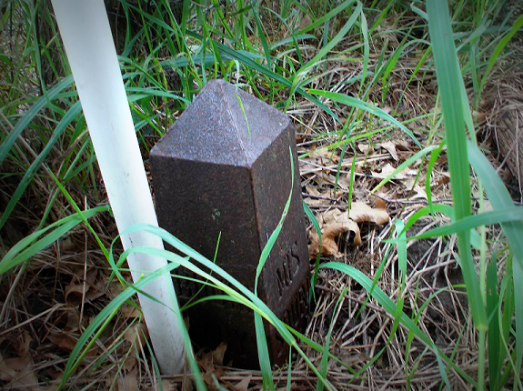
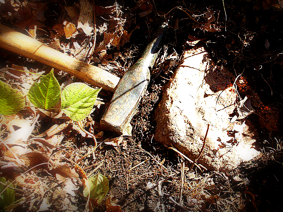
- Monuments placed at all major corners of the boundary of the property.
- Address of the property.
- Flood zone classification (with proper annotation based on Federal Flood Insurance Rate Maps or the state or local equivalent) depicted by scaled location and graphic plotting only.
- Gross land area.
- Current zoning classification, building setback requirements, height, and floor space.
- Exterior dimensions of all buildings at ground level, square footage of the exterior footprint of such, and / or the measured height of all buildings.
- Locating parking lots and striping, including handicapped, motorcycle, regular parking areas, billboards, signs, swimming pools, and landscaped areas.
- We must call Dig-Right to have all utilities marked on the ground and show them on our plat. This includes the location of all underground utilities. We also include on our plat all above ground utilities, telephone pedestals, electric meters, patios, porches, and etc. This is some of the information collected at the survey site, for this type of survey.
*This is not a complete list of the information collected on the survey site for this type of survey.
Flood Elevation
We do Flood Elevation Certificates
11K Survey Library
Our library of surveys date from the 1940's to the 1970's with the bulk of the more than eleven thousand surveys executed between 1972 and 2012.
More Information
CALL FOR A FREE ESTIMATE
Office: 660-239-4403
Fax: 660-395-7011
This email address is being protected from spambots. You need JavaScript enabled to view it.